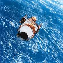
The addition of such technologies as air-photography and satellite imaging means that archaeologists can now scan the earth from the sky. This enables patterns in the landscape to be analyzed and probable locations of buried sites to be recognized. Air-photography has already seen great success in finding the numerous tels of the Middle East, each one the potential site of a buried city thousands of years old. The same techniques, along with satellite imaging, are being used to map the rain forests of Central and South America as well, finding overgrown Mayan temples and other formerly inhabited areas.
Of recent interest has been the aerial mapping of Libya, now that it has become opened up to archaeological investigation. Already more than 100 sites have been found which are thought to be the remains of a regional culture that existed some 2000 years ago.
This potential for new knowledge will likely be rewriting history for some time in the future. Gaps in our understanding will be filled and old beliefs dispelled by new information. The revelations may be resisted at first by those who have an interest in preserving their work, but as more of the truth becomes known, humanity may begin to acquire a full understanding of its distant past.
